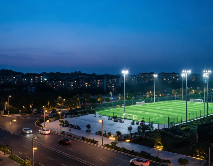
Roadway, sports and public-space lighting at night

Outdoor verticals

Sunna Design Infrastructure Lighting

Geometry, users, energy availability and environmental exposure set a different acceptance basis for every site.

Where performance is measured

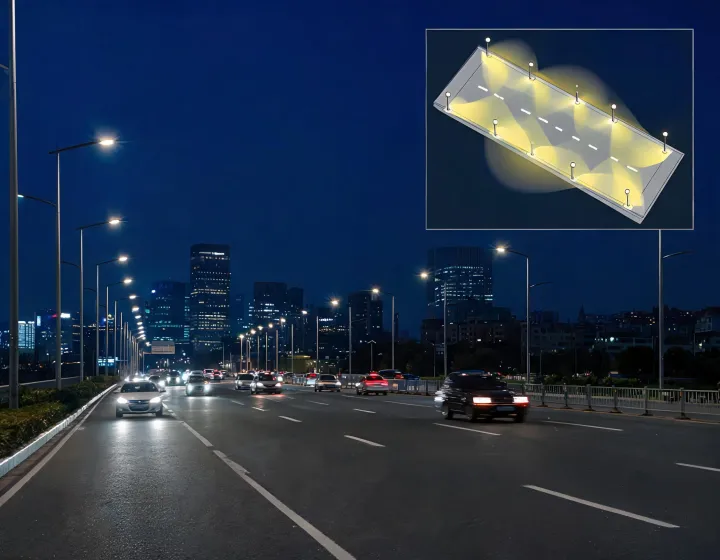
Roadways and intersections

Longitudinal distribution, uniformity, vertical visibility, glare and conflict-area geometry influence pole spacing and optics. Current photometric files must be applied to actual lane width, setback and mounting height. A nominal lumen package alone cannot establish roadway performance.
Pedestrian paths and parks

Facial recognition, route continuity, ecological sensitivity and residential spill matter alongside horizontal illuminance. Shielding, warm CCT options, programmed dimming and fixture placement should be reviewed at boundaries as well as on the path.

Community and sports facilities

Horizontal and vertical targets, aiming, flicker considerations, spectator views and neighborhood spill shape floodlighting. Structural loading, access and operating schedules must be coordinated with the lighting calculation.

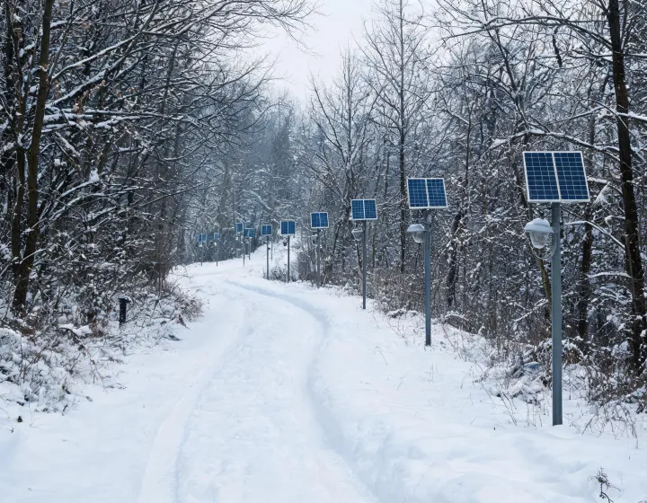
Remote and off-grid access

Autonomous solar systems depend on location-specific irradiance, shading, module orientation, load profile, battery temperature and required autonomy. The energy model should state loss factors and seasonal assumptions rather than claim universal independence.

Parking and public precincts

Vehicle movement, pedestrian crossings, security observation and adjacent property limits create multiple calculation zones. Controls can reduce late-night load, but detection coverage and safe fallback behavior require commissioning.

Site narratives with explicit limits

Urban roadway lighting calculation

Variable-width urban corridor

The background is a road that widens at transit stops and intersections. The process separates calculation zones, checks asymmetric optics against current IES data and records where pole spacing changes. The result is a defensible layout basis; without measured geometry and maintenance assumptions, no numerical improvement is claimed.

Seasonal off-grid trail

The background is a remote path with limited winter access. The process uses site coordinates, seasonal solar resource, shading, operating profile and battery-temperature assumptions to compare autonomy options. The result is a documented energy balance that can be updated if operating hours change, not a guarantee for every weather sequence.

Remote solar trail lighting

Trade-offs the project must own

Maximizing lm/W reduces load and can improve solar-system feasibility, while tighter shielding and warmer spectral choices may better address glare or ecological concerns. Central monitoring supports portfolio visibility, but distributed controls can retain local operation when communications fail. Integrated batteries and controls can simplify installation; serviceable components can reduce future replacement scope.

BUG rating, IP, IK and surge specifications describe defined aspects, not complete site suitability. Wind loading, corrosion, foundation design, battery aging, shading and ambient temperature remain separate checks. Final release requires configured drawings, current photometry and destination-specific documentation.

Test the layout against the real site.

Send coordinates, geometry, operating schedule and performance criteria.